2018-02-08_012 Picture
Salt River Valley
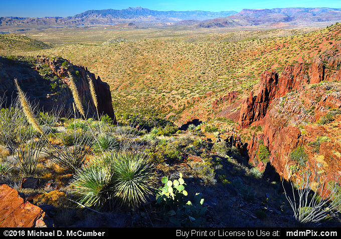
picture with Hog Canyon, Cliff Face, Sonoran Desert, Theodore Roosevelt Lake, Mazatzal Mountains, Sierra Ancha Range, Four Peaks Mountain, Soaptree Yucca, and Salt River from
Sierra Ancha Experimental Forest, AZ and the Tonto National Forest taken on February 8, 2018.
