2015-02-18_067 Picture
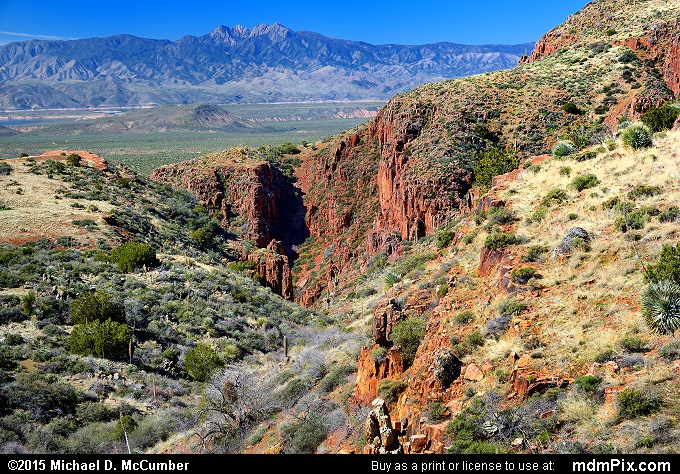
Salt River Valley
picture with Saguaro Cactus, First Water Canyon, Cliff Face, Sonoran Desert, Pinyon-Juniper Grassland, Theodore Roosevelt Lake, Mazatzal Mountains, Sierra Ancha Range, Four Peaks Mountain, Juniper, and Salt River from
Sierra Ancha Experimental Forest, AZ and the Tonto National Forest taken on February 18, 2015.
